THE ULTIMATE SCUBA DIVING RESOURCE
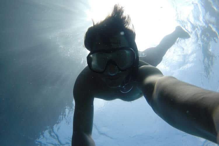
Exploring the underwater world one plunge at a time

About Diving Lore
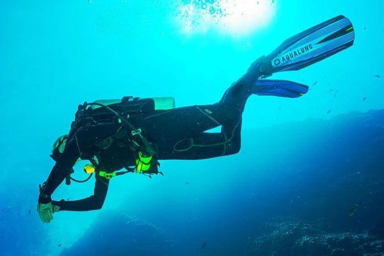
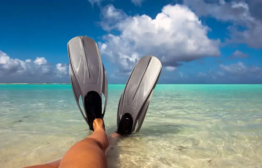
Grab your gear and get ready to take the plunge
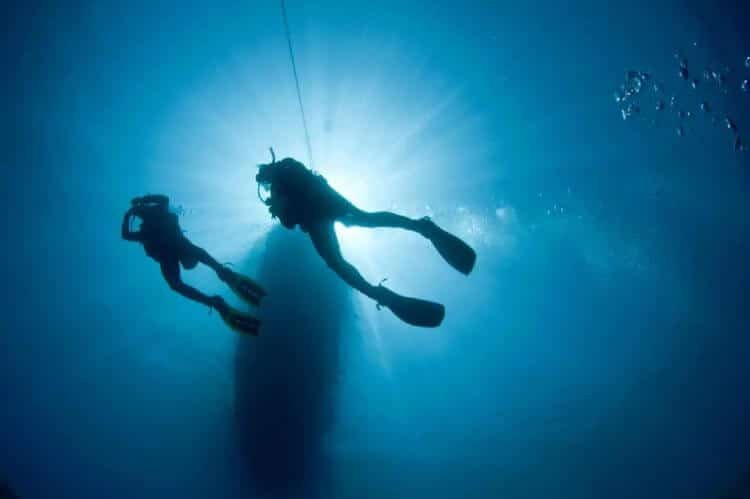
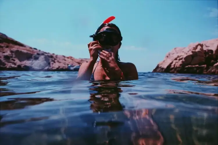
Diving Lore strives to build a community of like-minded scuba enthusiasts who share a passion for the ocean and want to explore the world under the surface.
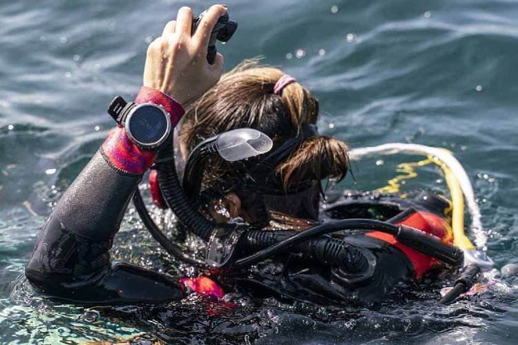
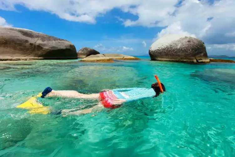
I’m Martin McQuillen and I find that there is no greater joy in life than when I’m submerged in deep blue waters, exploring this magnificent natural habitat.
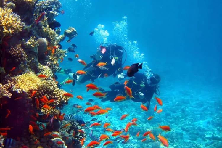
My unbounded love for the ocean motivated me to pursue my passion and become a professional scuba diving instructor.